
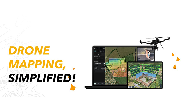
Esri India, the country’s leading Geographic Information System (GIS) software & solutions provider, today introduced Site Scan for ArcGIS, a complete cloud-based drone mapping solution. The solution encompasses flight planning, data capture, data processing, analysis, data sharing and drone fleet management. It is offered as ‘Software as a Service’ (SaaS) with unlimited storage and computing. Site Scan for ArcGIS is hosted in India, on a cloud approved by the Government of India, and ensures that the drone data is stored and processed within India in compliance with the government regulations. Site Scan for ArcGIS exhibits the capability to process data captured by most of the drones manufactured in India or abroad.
The recent announcement by the Ministry of Civil Aviation on the New Drone Rules 2021, simplified the procedures and reduced the compliances required for operating a drone in India. Earlier in February this year, the New Geospatial Data Guidelines announced by the Department of Science and Technology had deregulated the collection, processing, and storage of geospatial data. These landmark policy announcements in the regulatory environment have made it easier to collect geospatial data through drones which is of paramount importance to the successful implementation of government schemes like SVAMITVA, Smart City program, Bharatmala project, Interlinking of Rivers, National Mission for Clean Ganga, and various other infrastructure development projects. With the automation and scalability of Site Scan for ArcGIS, the data collected through drones can now be processed quickly, cost-effectively and with minimal human intervention, while eliminating any disruptions during processing. This will result in reducing the cost and time significantly for its users ranging from drone service providers to critical infrastructure organizations, governments, and enterprises.
Agendra Kumar, Managing Director, Esri India, said “With the new Drone Rules 2021, Geospatial data creation through drones is set to get a boost in the country. There is a need for a solution that simplifies drone flying, data capture, processing, and consumption. Site Scan for ArcGIS hosted on a government approved cloud in India meets these requirements and provides much needed manageability, reliability, scalability, and cost efficiency for drone data processing. Site Scan will also be a great enabler for our partner community and numerous Drone service providers.”
With Site Scan for ArcGIS, organizations involved in construction, engineering, utilities, natural resources, and government agencies will be able to easily capture high-resolution imagery for the areas of interest to examine, visualize, analyze, and make decisions based on the latest information. The acquired 2D & 3D information can be further disseminated as secure services and conveniently consumed anywhere, anytime on any device. A secure, highly available, and scalable cloud platform ensures that drone data processing is not limited by hardware.
Visit us at: https://www.esri.in